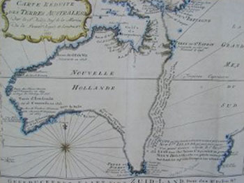
This is one of the very few pre-Cook maps showing only Australia. Produced in 1753 by Frenchman, Jacques Nicolas Bellin, the imaginary line goes from Tasmania to Espiritu Santo to PNG. The coastal note translates: I suppose that the land of Dieman can join with the land of the Holy Ghost but this is without proof."
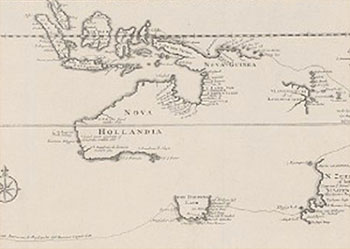
 Enlarge
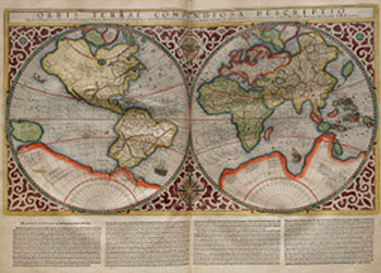
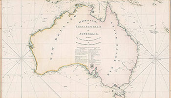
Map of Australia by Matthew Flinders of 1814. (National Library of Australia ref: nla.map-t570)
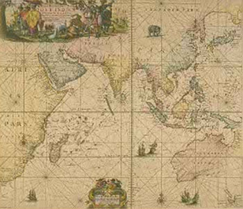
Enlarge